
Geospatial engineering
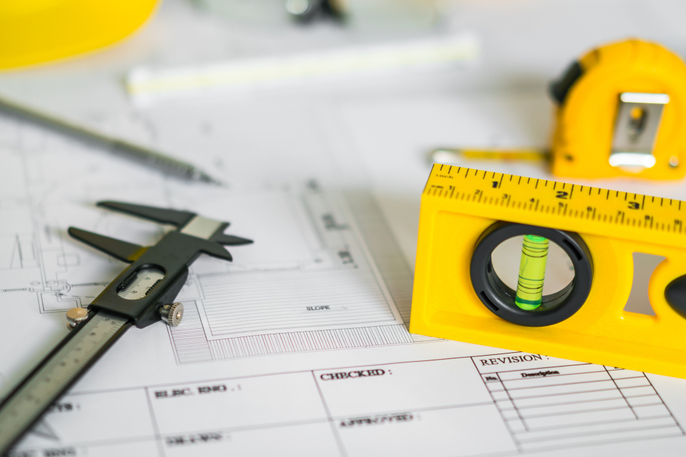
Topography, land planning, geodesy and cartography
Our expertise in surveying, land development, geodesy and mapping is at the heart of our commitment to providing superior solutions. We use state-of-the-art technologies to map and monitor land, design precise land development plans, and carry out high-precision geodetic surveys. Thanks to our expertise in these fields, we are able to guide our customers through complex projects and guarantee reliable results for all their geospatial requirements.
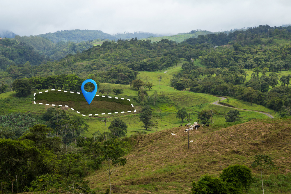
Photogrammetry, remote sensing and LiDAR, 3D capture
La photogrammétrie, la télédétection, le LiDAR et la captation 3D sont les piliers de notre expertise en visualisation spatiale. À l'aide de technologies de pointe, nous convertissons des données visuelles en informations stratégiques. From aerial imagery and space-based data to high-precision 3D capture, we offer innovative solutions for urban planning, environmental management and many other fields. Explore a world of possibilities with our advanced photogrammetry and remote sensing skills.
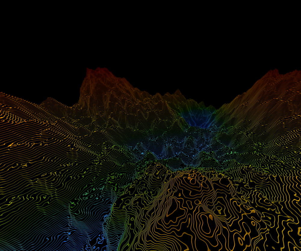
GIS (Geographic Information Systems) and Geomatics
Our mastery of GIS (Geographic Information Systems) and geomatics opens doors to the intelligent analysis and management of geospatial data. We use these powerful tools to map, analyze and visualize crucial information about places, resources and infrastructures. Thanks to our expertise in GIS and geomatics, we provide tailor-made solutions for strategic planning, informed decision-making and effective land management. Explore the infinite potential of geospatial data with our team of experts.